A plan that comes sailing
The date I choose at home becomes a journey I can open aboard and compare with our actual progress.
See plan versus passage →
Designed for my days aboard Jocelyn.
My own tools for easier single-handed sailing.
I plan on the Mac. I sail with the iPad, with my iPhone, paper log and selected updates for family connected to the same passage.
See my setup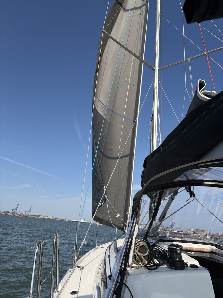
Why I started
I’m Richard, and I sail Jocelyn mostly single-handed. I’ve designed and developed Connected Sailing around my own boat and the way I sail her. I am continually learning, and I wanted the useful information and routine jobs to take less effort, leaving me more attention for the sailing itself.
It began with wanting a better logbook. Working with AI to develop my ideas, I have gradually built something that follows the whole passage: preparation on the Mac, Connected Sailing on the iPad as my main working screen aboard, the iPhone alongside it, a record on paper and a little more context for family ashore.
The Mac helps me prepare; the iPad is where I run the passage, see the instruments, use the plan and manage the enabled reminders, logging and sharing. Connected Sailing on the iPhone gives me another way to access the information and a paired passage recovery copy. The Mac does not need to be my cockpit screen.
Each addition starts with something I have found awkward aboard: a route in one place, a forecast in another, a note I cannot find, or a job that takes my eyes away from the boat. I ask whether I can make it clearer, hear the information instead, or record it once and use it in the other places it matters.
Where it gets interesting
The date I choose at home becomes a journey I can open aboard and compare with our actual progress.
See plan versus passage →A recorded engine or sail change can follow through to the working log, the printer and the live safety summary.
See the connected record →Spoken information, a paper log and a paired phone give the information other useful places to go.
See the backups aboard →Ideas from my own days afloat
I compare tidal opportunities on the Mac, put my chosen outing in the calendar and bring its timed map aboard.
Explore the sailing calendar →A received forecast update can be spoken, saved with the plan and carried into the published passage record.
Meet the spoken side →My published passages bring the forecasts, photographs, observations and lessons from the day together.
See a real passage →Weather along my route
I can now use the route in my selected Passage Awareness Pack to bring UK, Dutch and Belgian forecasts together before I sail and keep checking them during the passage. With Day Sailing selected, my normal UK weather stays unchanged.
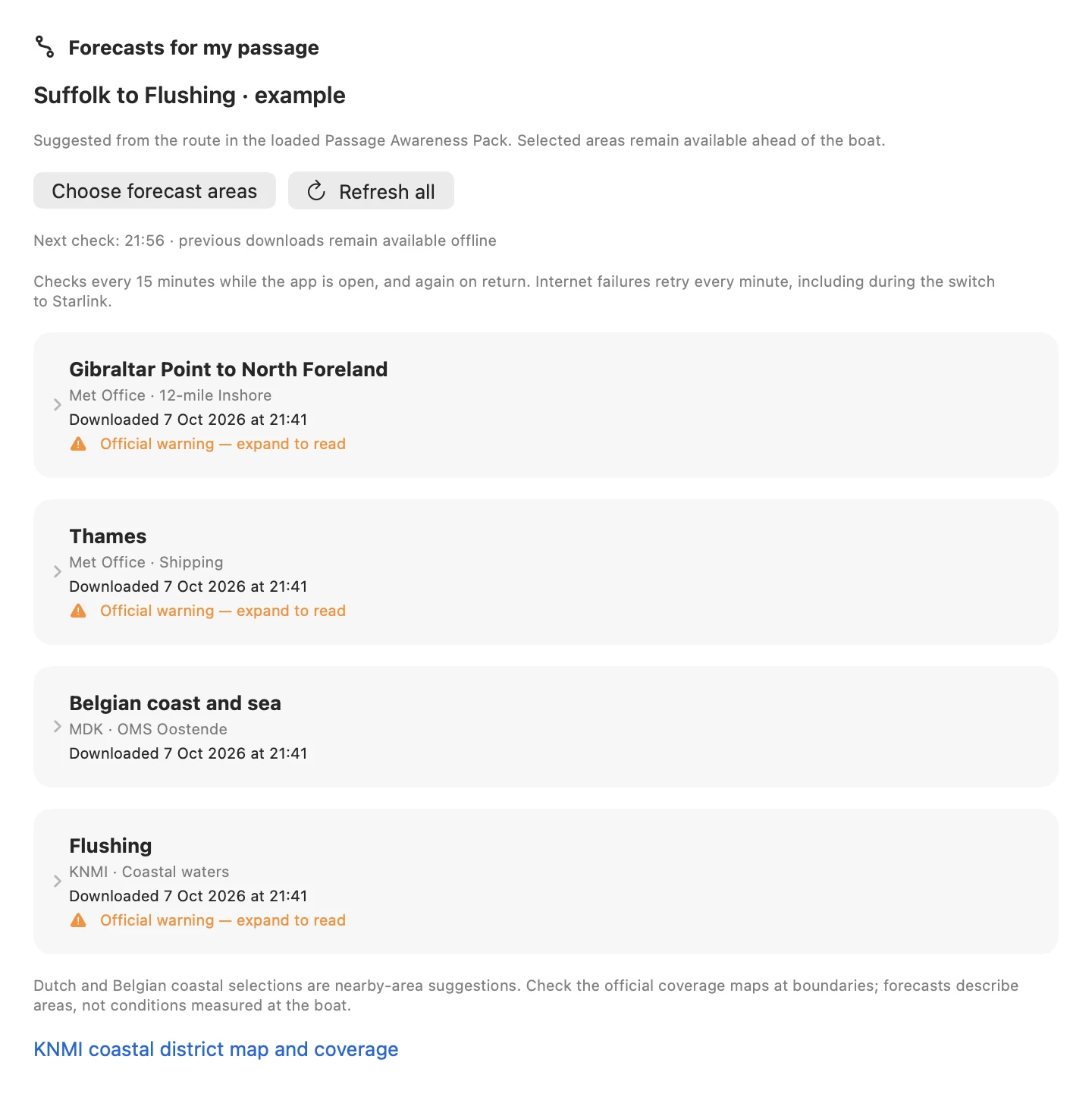
An illustrative Suffolk–Flushing route brings four sources together: UK Inshore, Thames Shipping, Belgian coast and KNMI Flushing. This is the actual shared forecast view rendered on the Mac, with dated public-source downloads from 7 October 2026.
Enlarge screenshot ↗My weather map and sailing angle
I can now place a boat on my weather map, choose a speed and heading, and see the likely apparent point of sail directly on the map. The nearest available valid tidal-stream point is selected automatically, with its name and distance shown. This is another way I am making preparation clearer for my own single-handed sailing.
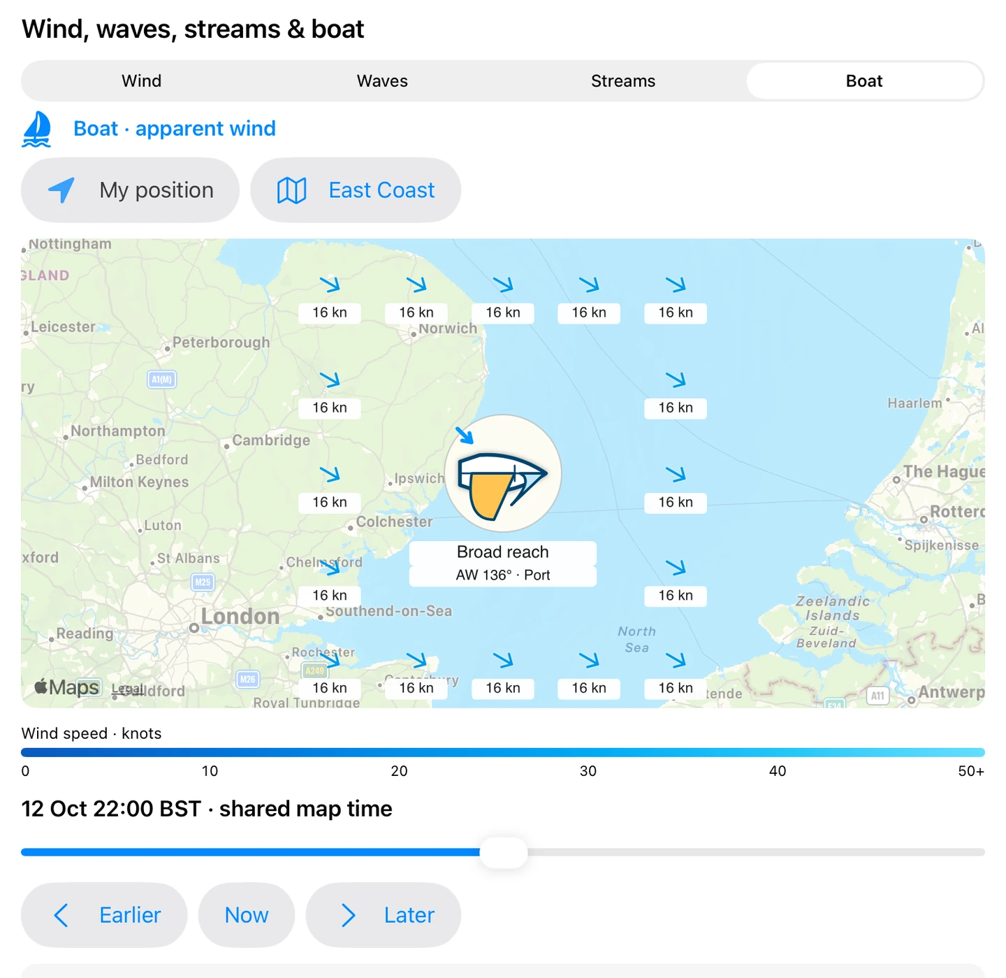
I place the boat and choose its speed and heading. Here the illustrative mainsail, foresail and apparent-wind arrow show a broad reach, with the angle and wind side directly below the boat. The example uses a chosen 4.5-knot speed through the water. The sails are a visual guide to the point of sail, not trim instructions.
Enlarge screenshot ↗See wind, waves and my sail illustration →
Interface examples from 12 October 2026, using isolated demonstration data. These are not current weather or tide predictions.
My setup on screen
My passage plan, instrument nuggets and Boat Brain records connect with the day I eventually publish on this website. These are real interfaces: app examples use demonstration data or Jocelyn-specific settings, and the story comes from a published passage. The chapters also show my alarms, AIS, depth-based anchor watch, forecasts, paper records and safety sharing. The original weather and tide examples reflect the UK waters I sail; the route forecast examples above also show Dutch and Belgian sources.
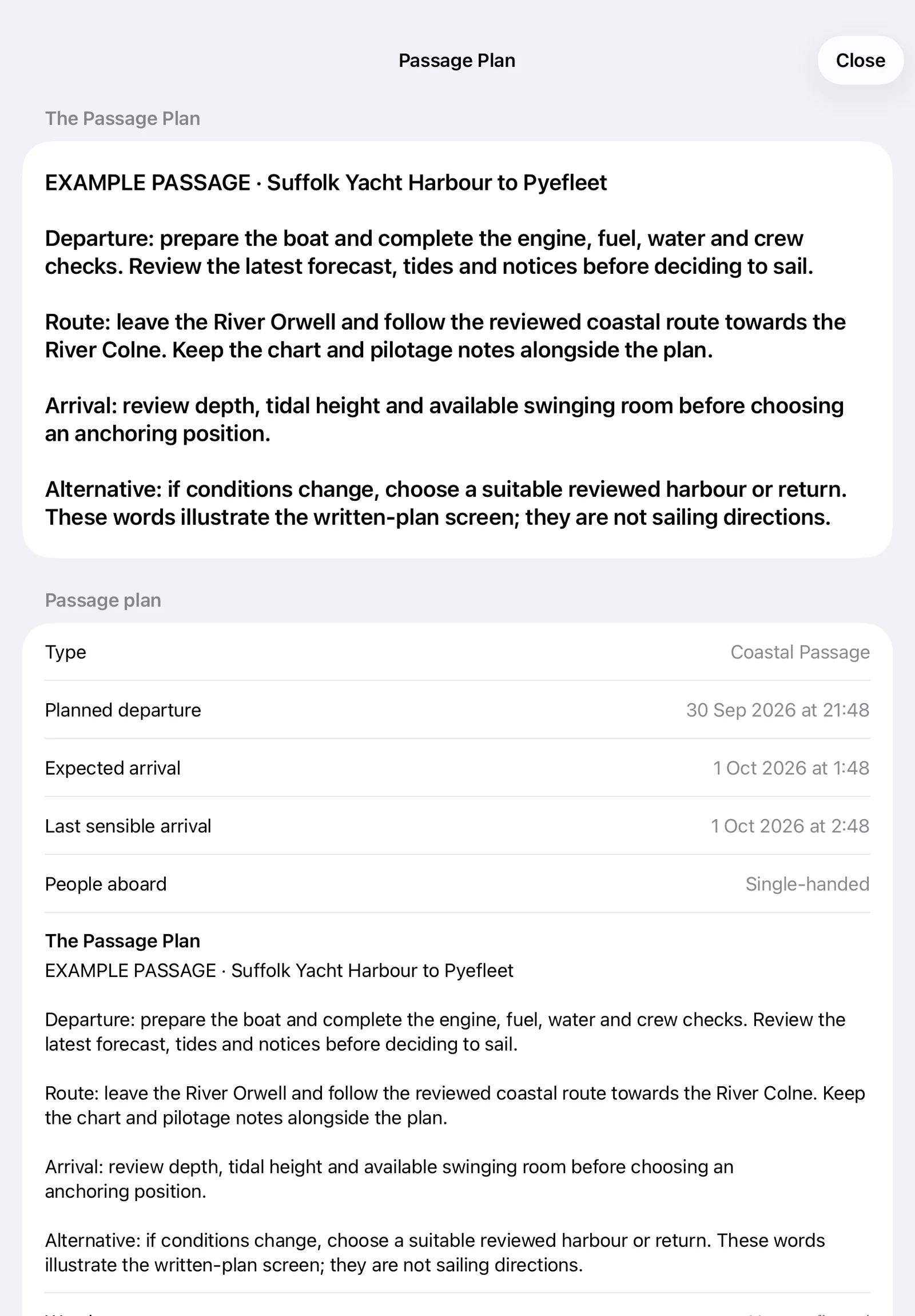
The written plan stays readable aboard, with departure checks, the route, arrival considerations and an alternative. This example text demonstrates the current screen and is not a set of sailing directions.
Enlarge screenshot ↗Explore this part of the system →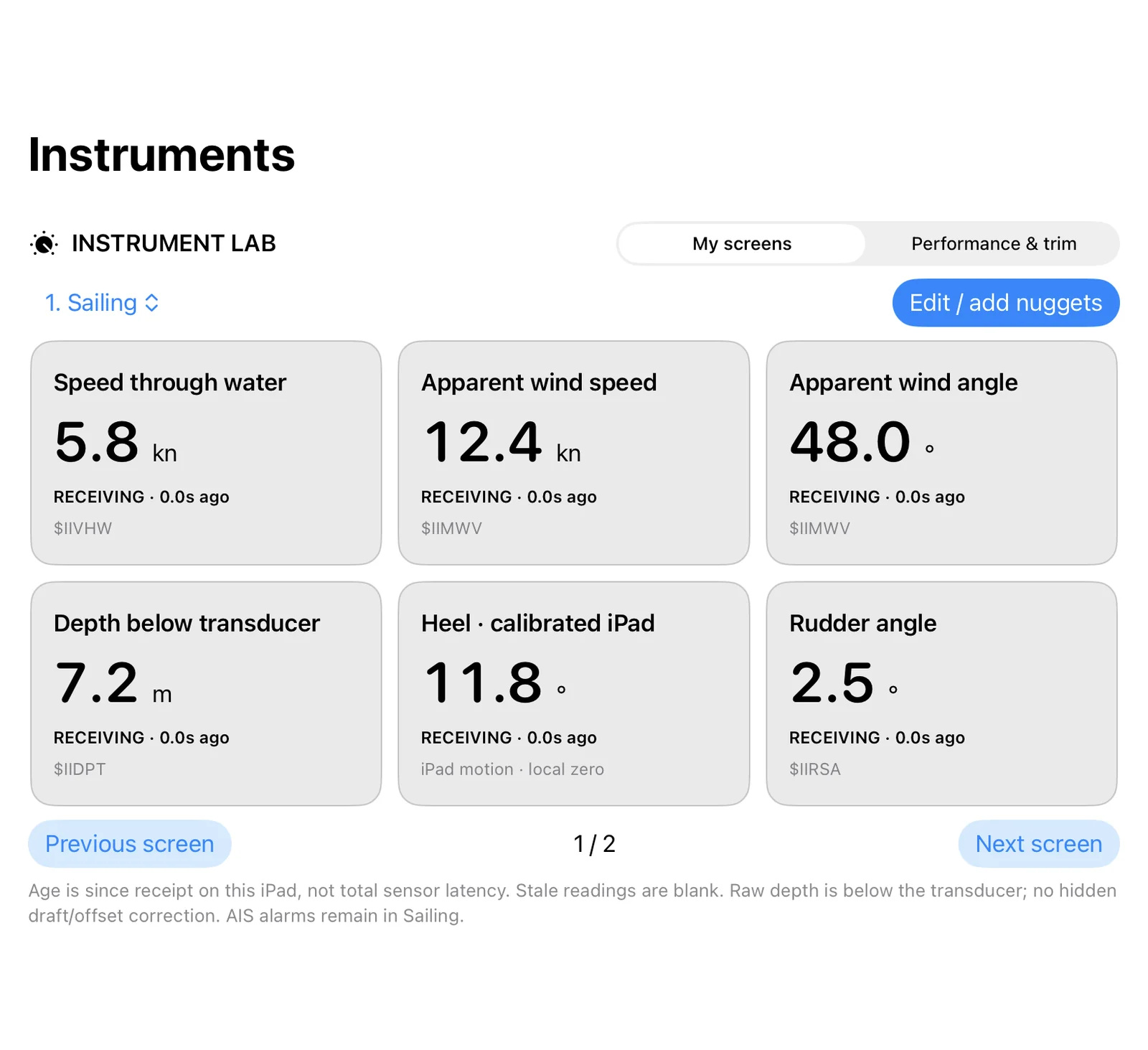
I choose a screen for the job: speed through water, apparent wind, depth, heel and rudder are together here. Real Instrument Lab interface from the separate Instruments app, using demonstration readings. It supports up to eight saved screens with twelve nuggets on each.
Enlarge screenshot ↗Explore this part of the system →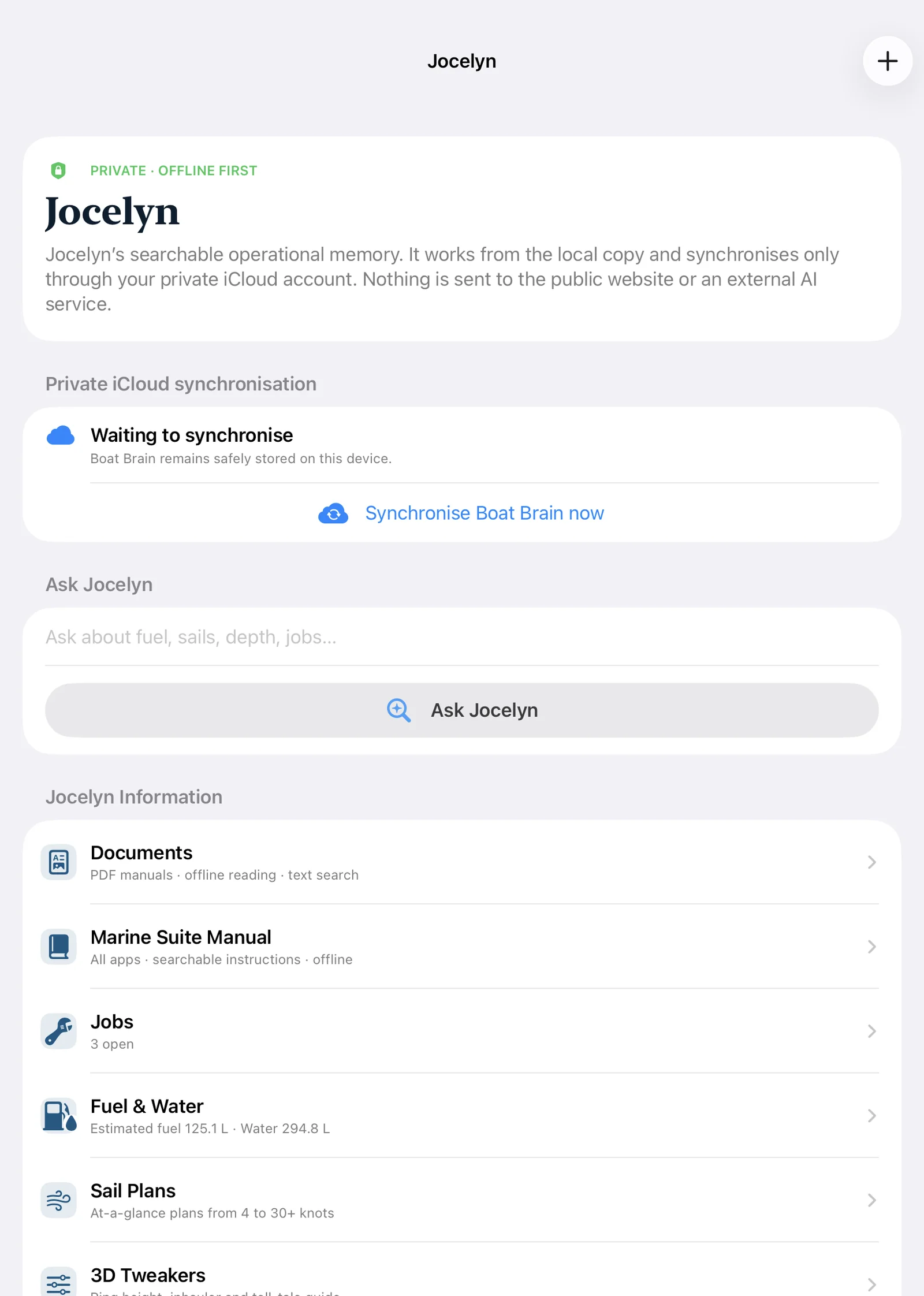
Boat Brain keeps questions, documents, jobs, fuel and water, and boat-specific guides together. This is Jocelyn’s current interface. Structured records work locally and can synchronise privately through iCloud.
Enlarge screenshot ↗Explore this part of the system →
The real published Passage 045 combines the skipper’s account with a photograph from the day. It is an existing public record; open the complete passage to read the story, observations and supporting evidence.
Enlarge screenshot ↗Explore this part of the system →My setup, from preparation to memories
These thirteen chapters follow the jobs I want help with: choosing a sailing date, preparing my plan, using the instruments, hearing reminders and keeping a record I can enjoy afterwards. The photographs and app screens show my own setup and examples of how it works.
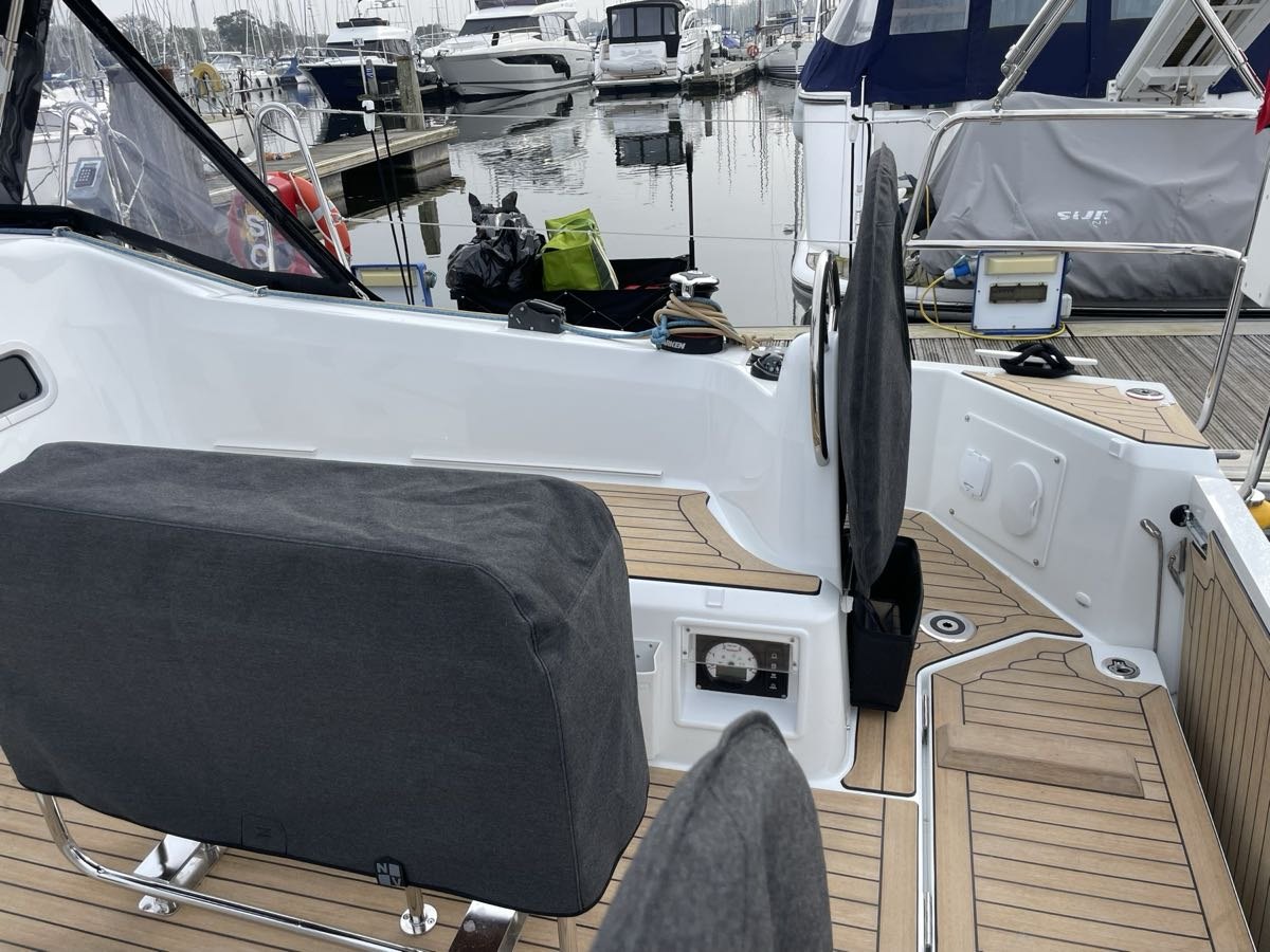
My passage plan, from the first idea to leaving the berth.
Take a look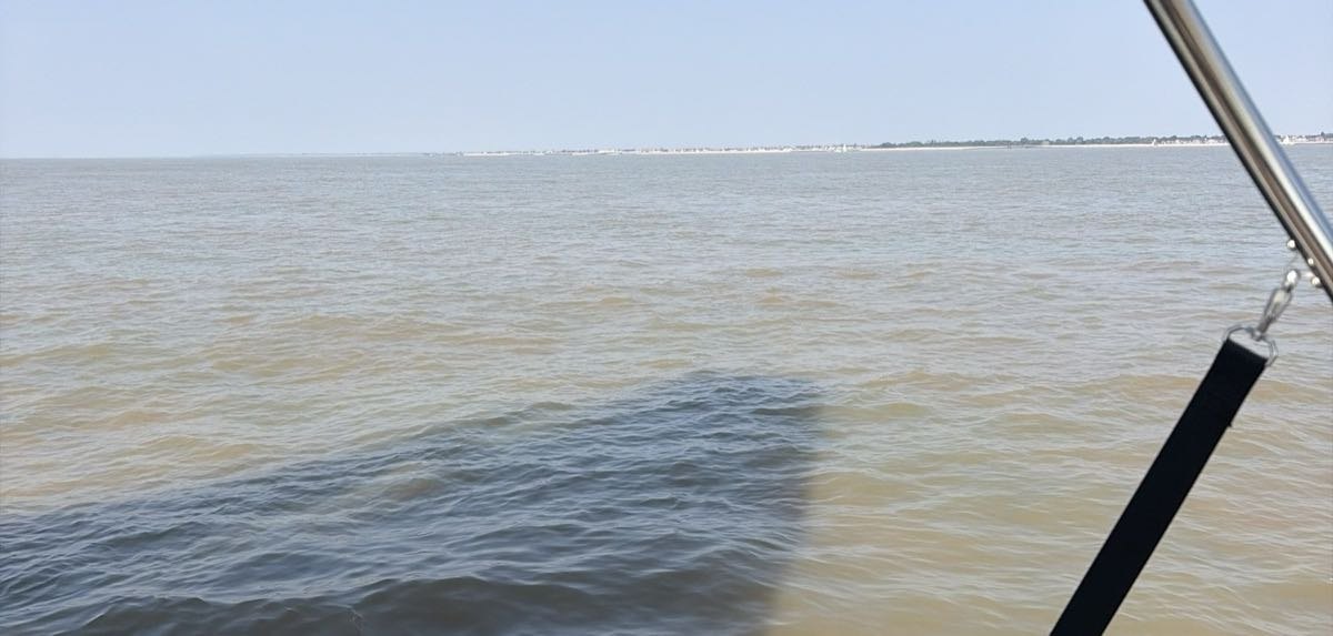
Getting to know the water I intend to sail.
Take a look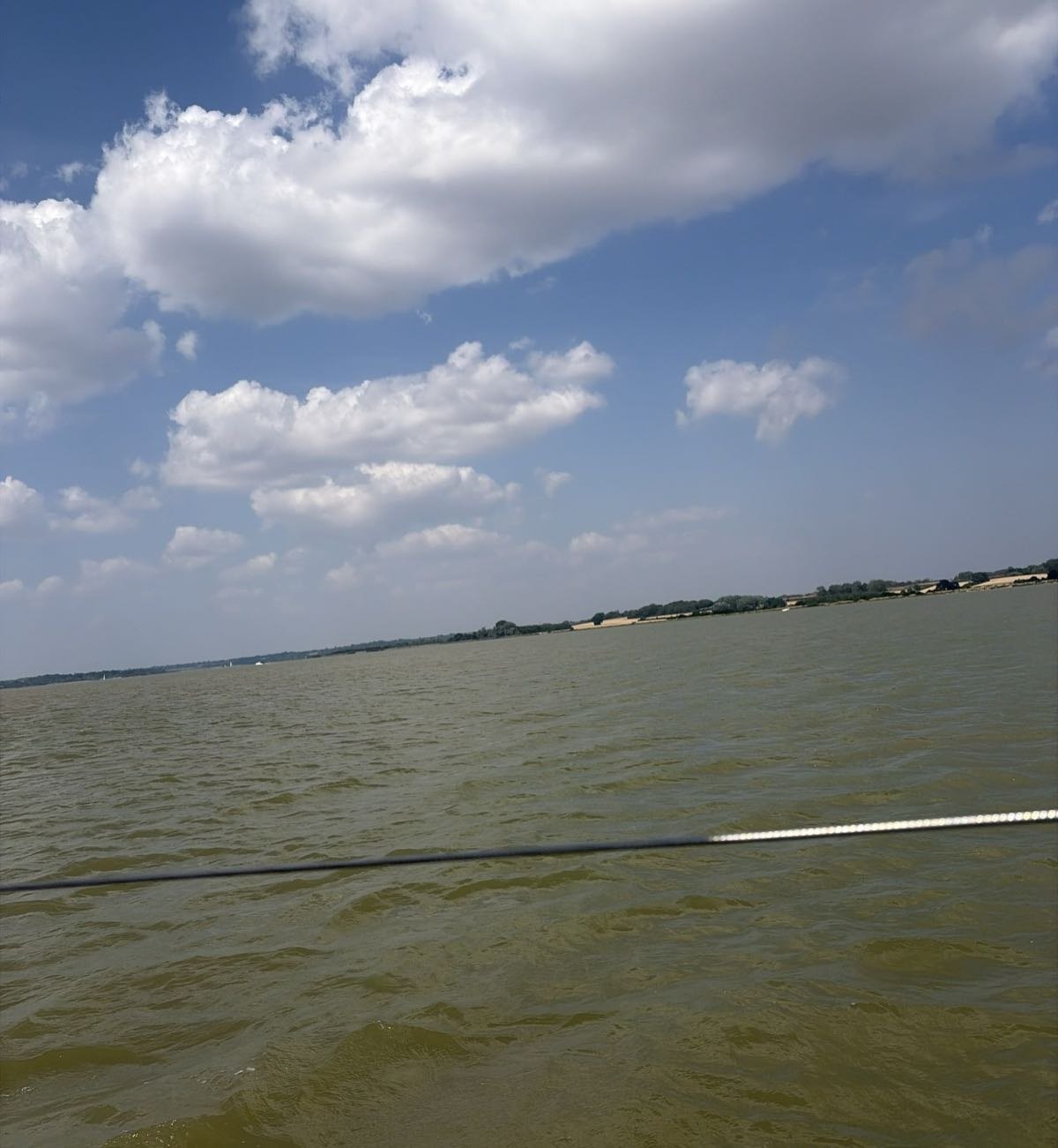
Finding a date and tidal window that suit my passage.
Take a lookMy plan stays useful after I have left the berth.
Take a look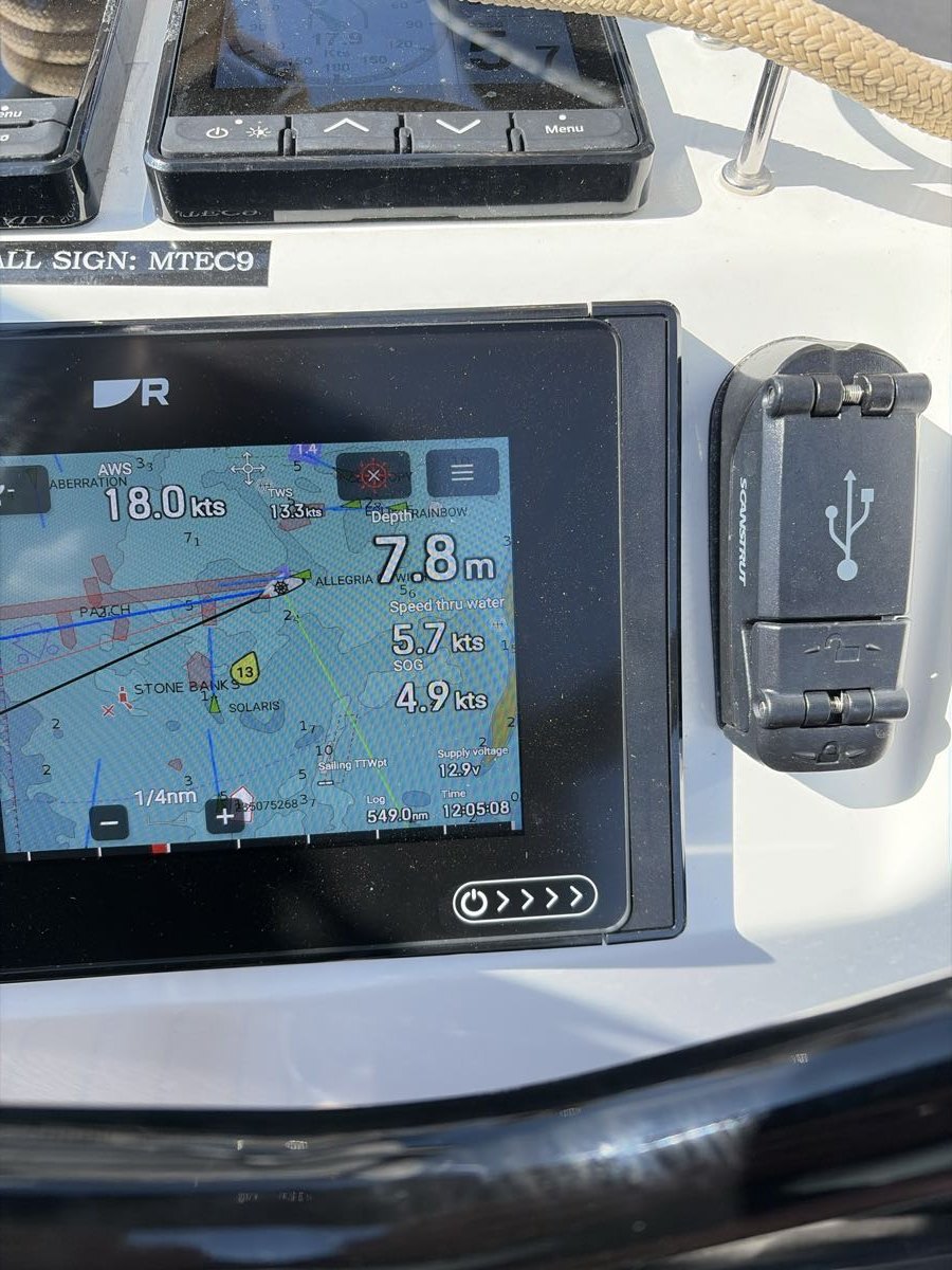
My instruments, arranged around the way I sail Jocelyn.
Take a lookUseful information I can hear while I sail.
Take a look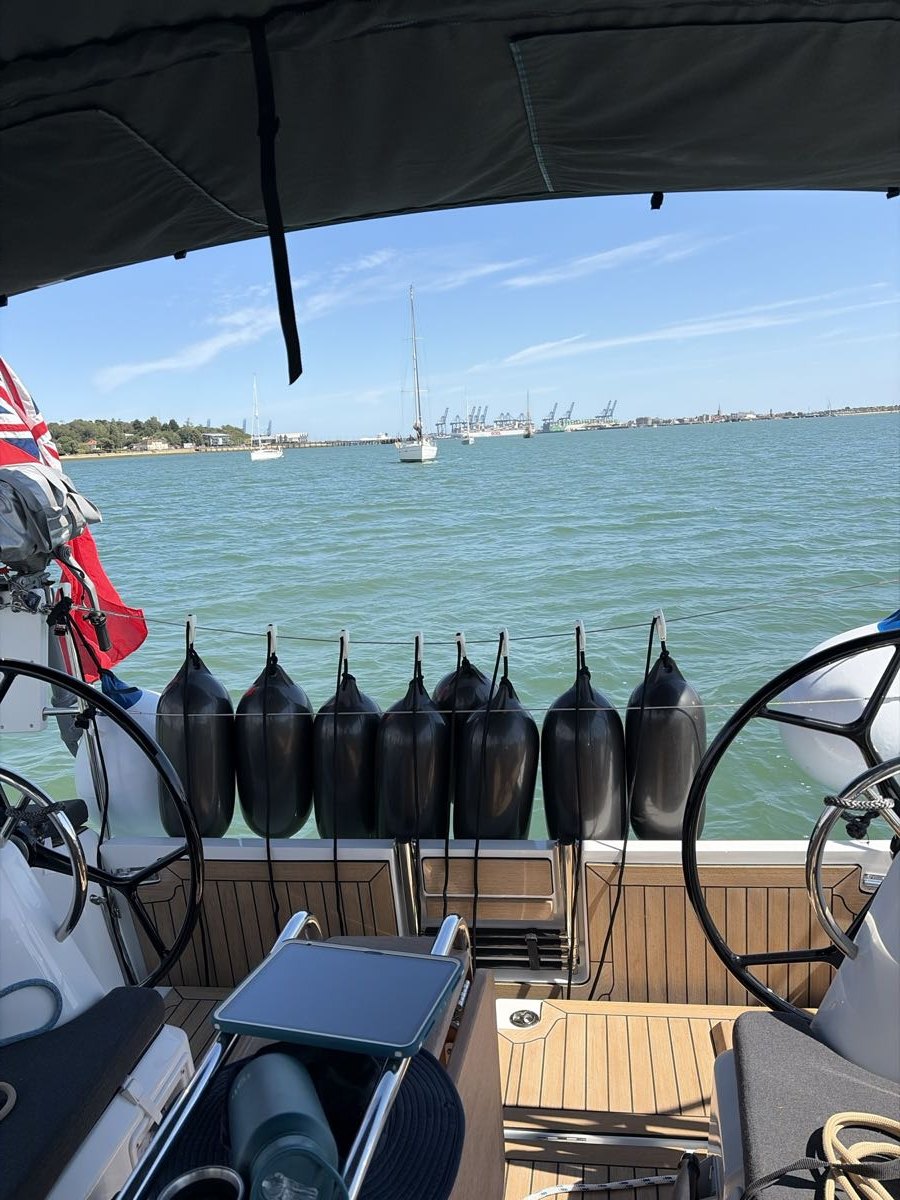
A watch circle calculated from depth and deployed tackle.
Take a lookMore context for the decisions I make aboard.
Take a look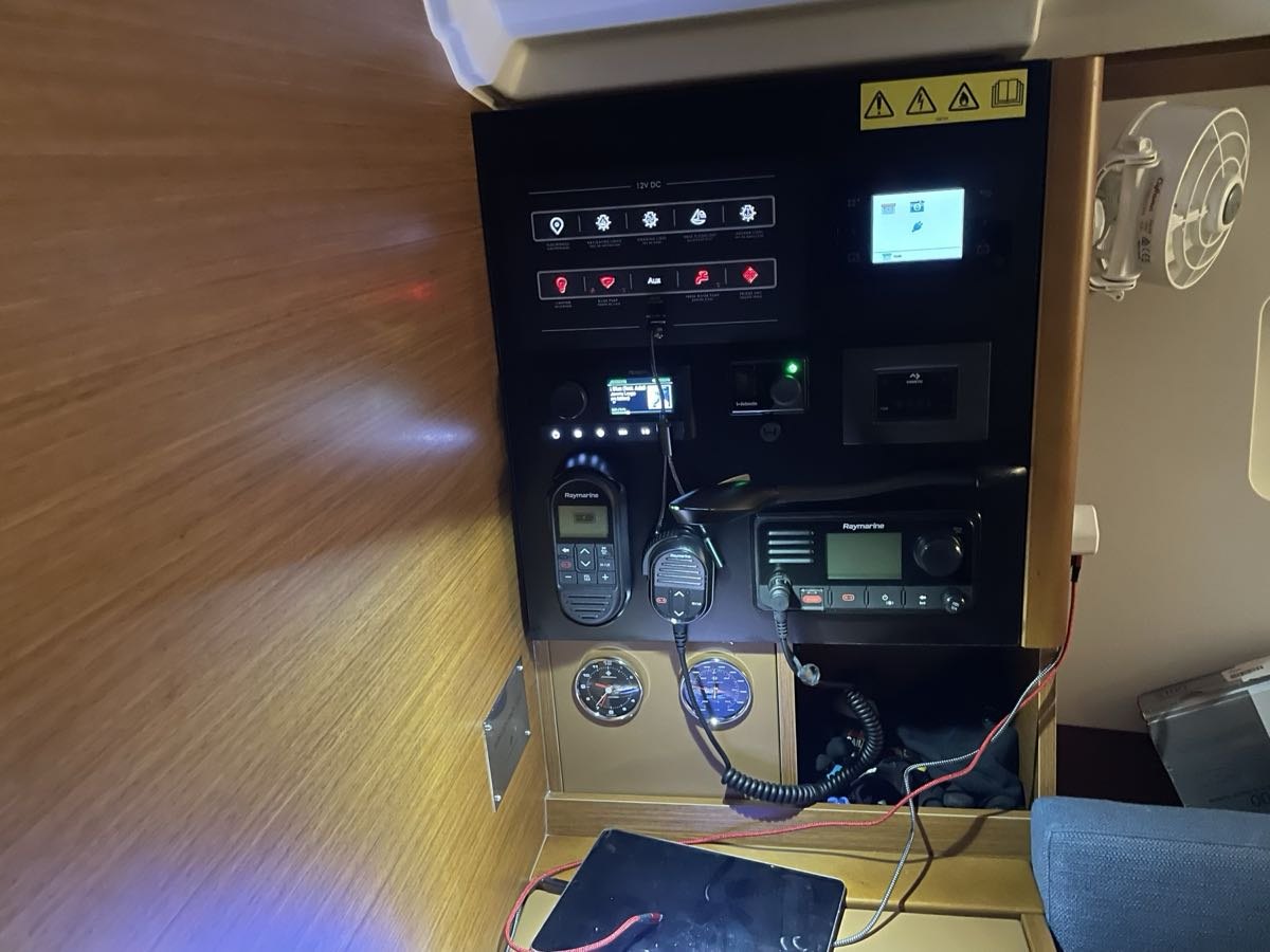
Knowing which internet connection is working aboard.
Take a lookA working passage record I can also read on paper.
Take a look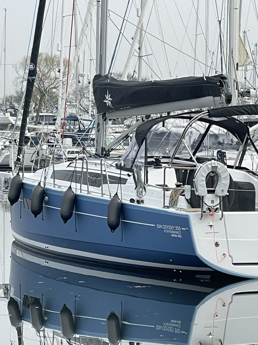
Keeping my family closer to the day afloat.
Take a lookKeeping the story as well as the figures from my day.
Take a lookA place to keep the useful things I learn about Jocelyn.
Take a lookMac Sailing Companion
Research, routes and calendar
iPad: my main passage screen
iPhone: access and passage backup
Jocelyn Swing Watch
A separate anchor and mooring app
The Jocelyn website
Selected updates and memories
A personal account of a system evolving aboard Jocelyn. It supports my decisions and existing boat equipment; it does not take command of the boat. Photographs are from Jocelyn’s own archive.